-40%
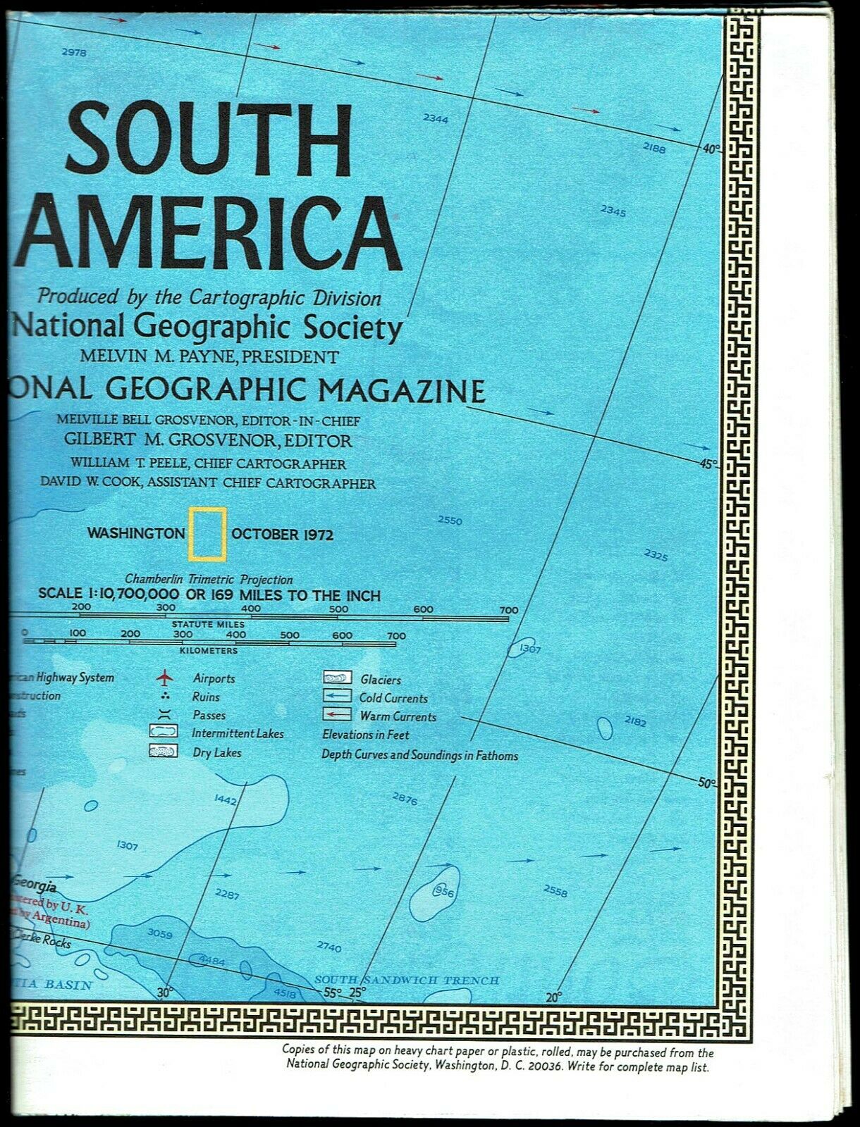
⫸ 1972-10 October SOUTH AMERICA - National Geographic Map Poster Home School A1
$ 1.26
- Description
- Size Guide
Description
⫸1972-10 SOUTH AMERICA - National Geographic Map Home School Poster
South America: A continent of contrast shaped by history and geography. On one-side of this National Geographic map is a political map (showing national borders) of South America, while the reverse-side contains a physical map of the continent showing elevations. There are several map insets of South America showing areas of mining and industry, land use and population density, and climate. In addition, there are maps of South America showing habitation before Columbus, during the age of discovery and conquest, and the wars for independence, with a discussion of each.
Map is approximately 23” x 31”.
The National Geographic is known for it's fine maps & detailed information.
Supplement to the National Geographic Magazine; magazine is not included.
Always use your cart to obtain any discounts!
U.S. Shipping
- Please select:
1) USPS Mail Service or Media Mail (average delivery time) .50 for the first item and 50
¢ for each additional item.
2) USPS Package Service (faster delivery and with tracking) .00 for the first item and 50¢ for each additional item.
SAVE - MAP SALE - Select ANY 5 Maps - The lowest priced item is
FREE
- See eligible items above (top left).
x
x
x


