-40%
⫸ 2007-8 August Dividing Link MEXICO & CENTRAL AMERICA Nat'l Geographic Map A1
$ 0.81
- Description
- Size Guide
Description
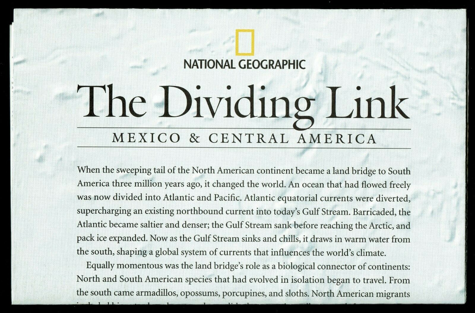
⫸2007-8 The Dividing Link, MEXICO & CENTRAL AMERICA - National Geographic Map Poster
Three million years ago, a land bridge was formed by the movements of giant tectonic plates, connecting north and south America, and creating Central America. The map-side of this study contains a classic National Geographic political map of current Mexico and Central America, with inset maps showing where the ancient cultures lived. The reverse-side contains a physical map of the same area, color-coded according to land use from evergreen forests to population centers and roads. There are also three map insets illustrating the birth of the land bridge at various stages from 90 million years ago to 20 million years.
Map is approximately 20” x 31”
The National Geographic is known for it's fine maps & detailed information.
Supplement to the National Geographic Magazine; magazine is not included.
Always use your cart to obtain any discounts!
U.S. Shipping
- Please select:
1) USPS Mail Service or Media Mail (average delivery time) .50 for the first item and 50
¢ for each additional item.
2) USPS Package Service (faster delivery and with tracking) .00 for the first item and 50¢ for each additional item.
SAVE - MAP SALE - Select ANY 5 Maps - The lowest priced item is
FREE
- See eligible items above (top left).
x
x
x


